(There are many Roman ruins a short distance from my home. We live close to the Limes, a 300 mile long Roman wall from the 1st and 2nd century, as well as many nearby Roman forts. There are even some Roman ruins in downtown Frankfurt. When we went on this hike, I had assumed we'd see Roman ruins, not ruins from several hundred years earlier.)

A section of one of the inner ringwalls, taken while standing on the wall. Remnants of a stone building can be seen in the middle left.

A section of one of the outer ringwalls. Cities and farms can be seen in the distance.

Another section of an inner ringwall, with a fallen structure. In the background in the trees is another ring wall. (Look carefully and you'll see it.)
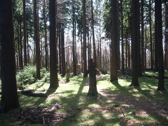
This last photo is of forest not far below the Celtic fortifications. The hike from the trailhead to the top of the mountain was a little more than 2 miles (I think--that is my guess based on our hiking time back to the car) and a climb of about 1000 vertical feet. Much of the trail passed through this type of forest.


4 comments:
My husband has a thing for ringwalls. Very cool to live so close to one!
It is very cool.
We can take visitors to Roman ruins and a nice museum and the Limes (Roman wall--over 300 miles long), the Celtic ruins, and very nice castle ruin, and only be gone from our apartment for 6 hours!
Me and two friends are wanting to hike Altkonig on Thursday next week. If you have any tips it would be greatly appreciated. I wasn't aware there was celtic ruins, we are from the Isle of Man so that is a large part of our heritage. It would be amazing to get to see them, is it acheivable at this time of year? And our starting is near Kronberg, not from where you were living?
I believe one can hike it this time of year. The trails are pretty good, but if it is rainy, they could be muddy. The hike is only 2-3 hours. We would drive to Falkenstein, which is between Kronberg and Konigstein (which has a great castle, by the way.) We always parked at Parkplatz Schartwald. That was the easiest way that we found to get to the hiking trails. (You can find this parking area easily on google maps.) There were signs at the trailhead. There are a lot of trails, in that area--not a single way up, so if you can get a trail map, either online or from someone, that may help. (We just explored the trails a bit, but if you are tight on time or the weather is bad, a good map would be helpful.)
Enjoy visiting Germany.
Post a Comment